Gabriel Bodenehr

AH 2787

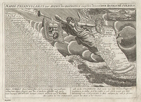
Bavaria > Table of distances

"Mappa Traiangularis zur Anzaig der Distantzen zwischen denen Chur Bayrische Staedten."

Copper engraving by Gabriel Bodenehr, from 'Curioses Staats und Kriegs Theatrum', Augsburg about 1730/35, 17,5 x 23 cm.

Very good impression and condition.

€ 100,-

Table which shows the distances of Bavarian towns. At the right side with an angel announcing the victory of the Christian alliance over the Ottoman Empire and with views of the siege of Vienna and the battle of Vienna at the Kahlenberg 1683.

Literature: Kunstantiquariat Schmidt: Augsburger Vedutenstecher und -verleger. Katalog zur Ausstellung Schloss Haimhausen 1982.

Enlarged Picture

Back

Kunstantiquariat Monika Schmidt • Munich • Germany • www.maps-n-views.com