|
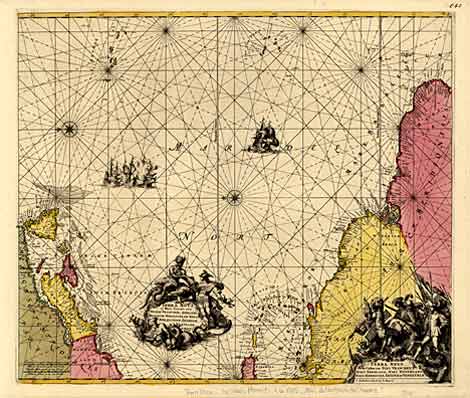
America
"Terra Nova ac Maris Tractus circa Novam Francia, Angliam ... Brasiliam"
Chart of the western Atlantic Ocean with the eastern coasts of Canada, New
England and northern South America, map orientated to the east.
Orig. col. copper engr., Amsterdam 1715, 48 x 57 cm.
Koeman Bd IV, 432.
Strong impression, perfect condition, nice original full colouring, without
centrefold.
€ 1.790,-
|