|
Nordwestern Africa > Marocco, Mauretania
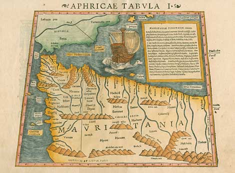
"Aphricae Tabula I"
Map of Nordwestern Africa, with the Strait
of Gibraltar, Marocco, Mauretania. In the style
of Claudius Ptolemy.
With a sailing ship and a cartouche with the
names of all important towns of the countries
shown.
Handcoloured woodcut by Sebastian
Münster, published by H. Petri, Basel ca 1550, from
the 'Geographia' after Claudius Ptolemy,
27 x 33 cm.
390,-
|