|
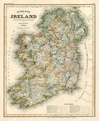
Ireland
"Neueste Karte von Irland / Nach den
besten Quellen entworfen u. gezeichnet / von
/ Hauptm. Radefeld / 1844"
Map of Ireland with 12 different scales.
Orig. coloured steel engraving by Radefeld,
No 39 from 'Meyer's Handatlas', Bibliographisches
Institut Hildburghausen, Amsterdam, Paris, Philadelphia,
37 x 30 cm.
160,-
|