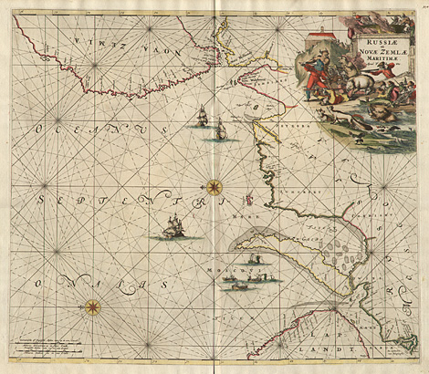
Russia > Chart of the Southern Barents
Sea
"Russiae et Novae Zemlae Maritimae. Apud F. de Wit."
Chart of the Southern Barents Sea from Murmansk
to Novaya Zemlya, decorative title cartouche
with hunting scenes at upper right. Orientated
to the East.
Orig. coloured copper engraving by Frederick
de Wit from the sea atlas "Orbis Maritimus
ofte Zee Atlas", Amsterdam 1675, 49,5 x
56,5 cm.
Perfect impression and condition.
1.750,-
|