|
Western Europe > France, Belgium, the
Rhine and the Pyrenees
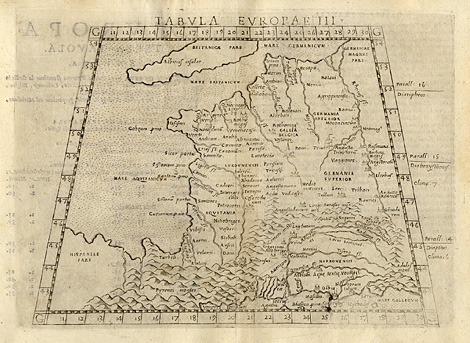
"Tabula Europae III"
Map of Western Europe with France, Belgium,
the Rhine, and the Pyrenees. In the style of
Ptolemy.
Etching from a Geography of Ptolemy edited
by Girolamo Ruscelli, printed and published
by Vincenzo Valgrisi, Venice 1561, 19 x 25 cm.
sold
|