|
Western Europe > France, Belgium, the
Rhine and the Pyrenees
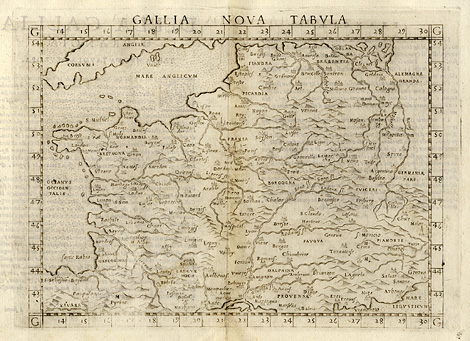
"Gallia Nova Tabula"
Modern map of Western Europe with France,
Belgium, the Rhine and the Pyrenees.
Etching from a Geography of Ptolemy edited
by Girolamo Ruscelli, printed and published
by Vincenzo Valgrisi, Venice 1561, 18,5 x 24
cm.
sold
|