|
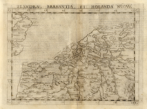
Western Europe > Flanders, Belgium, Holland,
Westfalia
"Flandra, Brabantia, et Holanda Nuova"
Modern map of Western Europe with Flanders,
Belgium, Holland, and parts of Westfalia.
Etching from a Geography of Ptolemy edited
by Girolamo Ruscelli, printed and published
by Vincenzo Valgrisi, Venice 1561, 19 x 25 cm.
240,-
|