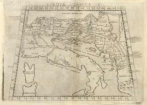
|
Ancient world, Roman Empire > Italy and
northern and eastern areas from Rhaetia to Dalmatia
"Tabula Europae V."
Map of the Roman Empire with Italy and the
northern and eastern areas from Rhaetia via
Noricum, Pannonia to Dalmatia. In the style
of Ptolemy.
Etching from a Geography of Ptolemy edited
by Girolamo Ruscelli, printed and published
by Vincenzo Valgrisi, Venice 1561, 18,5 x 25
cm.
250,-
|