|
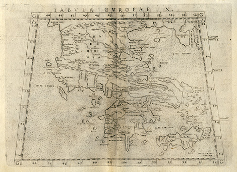
Southeastern Europe > Greece, Aegean Sea
and islands (Crete, Cyclades, Euboea)
"Tabula Europae X."
Map of Greece, the Aegean Sea and its islands,
e.g. Crete, the Cyclades, and Euboea. In the
style of Ptolemy.
Etching from a Geography of Ptolemy edited
by Girolamo Ruscelli, printed and published
by Vincenzo Valgrisi, Venice 1561, 19 x 24,5
cm.
sold
|