|
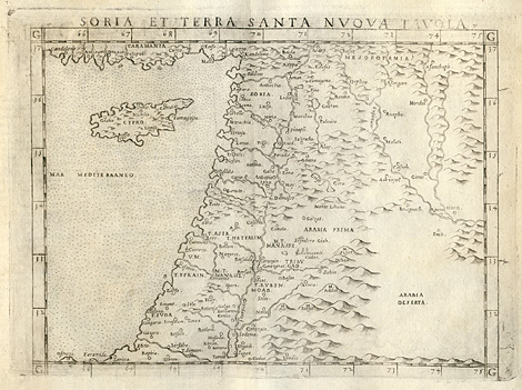
Near East > Cyprus, Libanon, Palestine,
Israel, Syria and adjacent countries
"Soria et Terra Santa Nuova Tavola"
Map of Southwest Asia with Cyprus, Libanon,
Palestine, Israel, Syria and adjacent countries.
Etching from a Geography of Ptolemy edited
by Girolamo Ruscelli, printed and published
by Vincenzo Valgrisi, Venice 1561, 19 x 24 cm.
sold
|