|
Northern Africa > from the Canary Islands
to the Red Sea
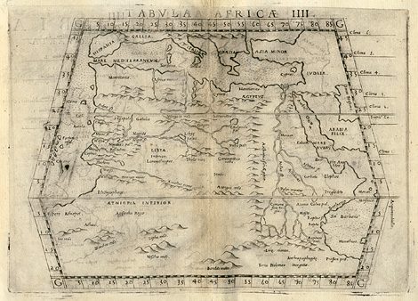
"Tabula Aphricae IIII."
Map of Northern Africa from the Canary Islands
('Fortunate Insul.') to the Red Sea, and from
the Mediterranean Sea to the sources of the
Nile river. In the style of Ptolemy.
Etching from a Geography of Ptolemy edited
by Girolamo Ruscelli, printed and published
by Vincenzo Valgrisi, Venice 1561, 19 x 23 cm.
250,-
|