|
Central and Eastern Asia > Northern India,
Nepal, Tibet, Himalaya
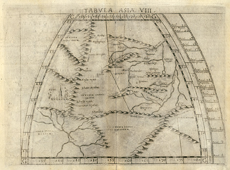
"Tabula Asiae VIII."
Map of Northern India with the sources of
the Ganges, of the Himalayas and of the Tibetan
Plateau up to the sources of the Oechardes river
(?Huang He or Yellow River). In the style of
Ptolemy.
Etching from a Geography of Ptolemy edited
by Girolamo Ruscelli, printed and published
by Vincenzo Valgrisi, Venice 1561, 18,5 x 24,5
cm.
220,-
|