|
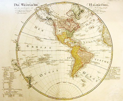
Orig. coloured copper engraving by A.G. Schneider,
published by Schneider & Weigel, after the large
map of America made by A. Arrowsmith (1750-1853)
in 1796, Nuremberg 1797, 53,5 x 64 cm.
Rare German map of America with details about
the European colonies in the New World and about
the islands in the Atlantic and Pazific Oceans.
In the Northwestern part Eastern Russia with the
Bering Sea and Bering Strait. In the Northeastern
part the Baffin Bay, Greenland and Iceland. In the
Southwestern part: New Zealand.
Explanations at lower left and right.
|