J.M. Hase by Homann Heirs
|
LK 2367
|
6 Historical maps of the Ancient World, Egypt
and Near East
Originally coloured copper engravings, by Johann
Matthias Hase, published by Homann Heirs, Nuremberg
about 1739.
Perfect impression and condition, broad margins,
on strong paper.
1.580,-
|
|
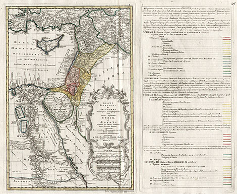
The Homann publishing house also edited maps
about the history of the Ancient World, especially
about Bible history (see also LK1767). To his investigations and descriptions of the
geographic-historical development of the kingdoms
of David and Salomon Johann Matthias Hase created
six large maps, which were published from 1739.
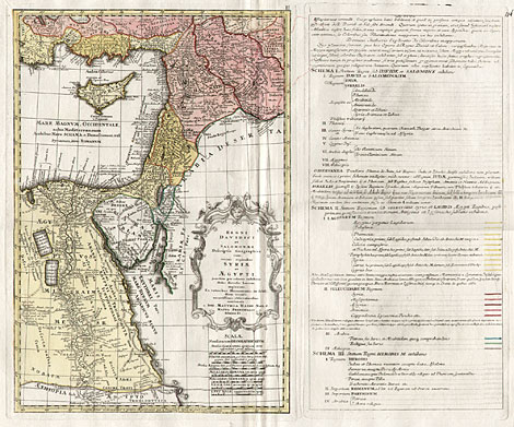
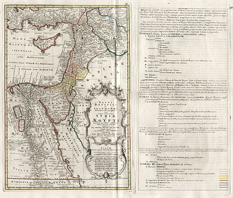
The first three maps (No 1 to 3) show the area
of Egypt and Near East up to Mesopotamia during
the reign of David and Salomon (10th century BC),
in the Hellenistic period (end of the 4th century
BC) and during the time of Herodes (end of the 1st
century BC) .
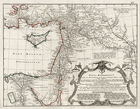
The fourth map (No 4) shows the region of Northern
Egypt up to Southern Turkey and up to the rivers
Euphrates and Tigris with Babylon in the east. With
many itineraries engraved.
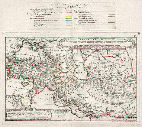
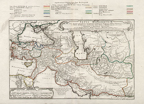
The fifth and sixth map (No 5 and 6) show the
region from Northern Egypt up to the Black Sea and
to the east via the Caspian Sea up to the Indus
river. Indicated are - with different outline colours
- the kingdoms and empires in Egypt and Near East
from the end of the 4th till the beginning of the
2nd century BC.
Ref.: Johannes Dörflinger. Geschichtskarten und
Geschichtsatlanten des Verlages Homann. In: "auserlesene
und allerneueste Landkarten", Stadtarchiv Nürnberg,
catalogue 14, 2002, pp 150.
The maps in detail:
|
|
|
|
1) "Regni Davidici et Salomonaei Descriptio
Geographica cum vicinis regionibus Syriae et Aegypti
... a Ioh. Matthia Hasio Math. P. Mappa Principalis
Schema I", map: 47,5 x 33 cm, explanations
at the right side: 47,5 x 23,5 cm.
|
|
|
|
2) "Regni Davidici et Salomonaei Descriptio
Geographica cum vicinis regionibus Syriae et Aegypti
... a Ioh. Matthia Hasio Math. P. Mappa Principalis
Schema II", map: 47,5 x 33 cm, explanations
at the right side: 47,5 x 23,5 cm.
|
|
|
|
3) "Regni Davidici et Salomonaei Descriptio
Geographica cum vicinis regionibus Syriae et Aegypti
... a Ioh. Matthia Hasio Math. P. Mappa Principalis
Schema III", map: 47,5 x 33 cm, explanations:
47,5 x 23,5 cm.
|
|
|
|
4) "Typus Aetiologicus I.", 32 x 40,5
cm.
|
|
|
|
5) "Typus Aetiologicus II. Schema I",
map: 29 x 43,5 cm, explanations above: 8,5 x 28
cm.
|
|
|
|
6) "Typus Aetiologicus II. Schema II",
map with the explanations above: 35,5 x 52,5 cm.
|
| Enlarged Pictures |
Back |
Kunstantiquariat Monika Schmidt Tel.
+ 89 28 42 23
Germany www.maps-n-views.com
|
|