J.M. Hase by Homann Heirs
|
LK 2467
|
28 historical maps from the Ancient World until
the Modern Age (1740)
Originally coloured copper engravings, 1 title
and 28 maps printed on 9 large double-pages (see
below page 5 to 9), after Johann Matthias Hase,
published by Homann Heirs, Nuremberg 1746(d). Size
of the pages: Each about 55 x 63 cm. Size of each
single map see below.
|
| Page
5:
|
|
|
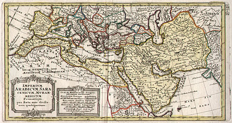
| 12) "Imperium Arabicum, Saracenicum, Muhamedicum
Primarium ...", 17,5 x 32,8 cm.
|
|
|
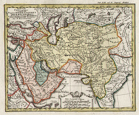
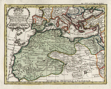
| 13) "Tabulae Pars Prima exhibens Partes
Orientaliores Imperii Arabici ...", 19,2 x
25,3 cm.
|
|
|
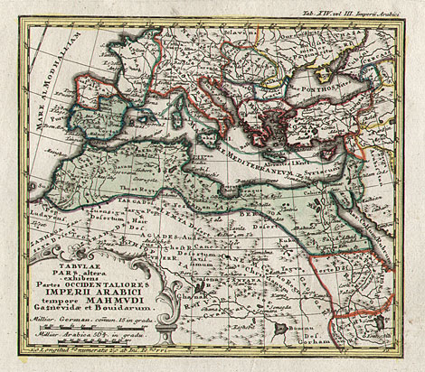
| 14) "Tabulae Pars altera exhibens Partes
Orientaliores Imperii Arabici ...", 19,5 x
25,3 cm.
|
| Page
6:
|
|
|
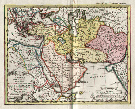
| 15) "Tabulae Pars prima exhibens Partes
Orientaliores Imperii Arabici ...", 19,5 x
25 cm.
|
|
|
| 16) "Tabulae Pars altera exhibens Partes
Orientaliores Imperii Arabici ...", 19,4 x
25 cm.
|
|
|
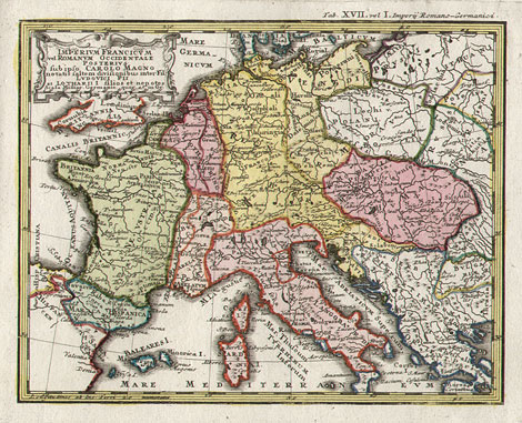
| 17) "Imperium Francicum vel Romanum Occidentale
Posterius sub ipso Carolo Magno ...", 18,8
x 23,5 cm.
|
| Page
7:
|
|
|
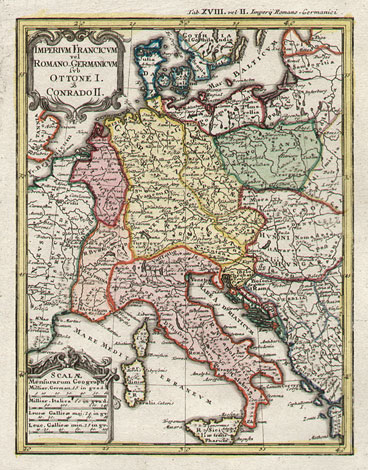
| 18) "Imperium Francicum vel Romano-Germanicum
sub Ottone I & Conrado II", 24 x 19 cm.
|
|
|
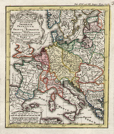
| 19) "Conspectus Generalis omnium Carum partium
quae unquam ad Imperium Francicum vel Franco-Romanum
demum Romano-Germanicum deversio temporum periodis
pertinuerunt Pars I. Occidentalior", 23 x 18,5
cm.
|
|
|
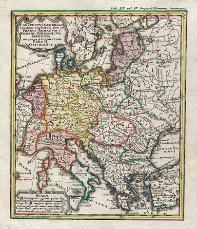
| 20) "Conspectus Generalis omnium regionum
quae ad Franco-Romanum v. Romano-Germanicum Imperium
unquam pertinuerunt Pars II. Orientalior",
22 x 19 cm.
|
|
|
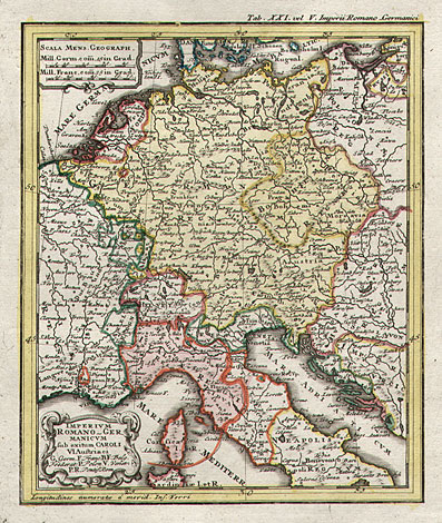
| 21) "Imperium Romano-Germanicum sub exitum
Caroli VI Austriaci", 23 x 19 cm.
|
| To the next maps (pages 8 to
9, maps 22 bis 28) --->> |
<<--- Back to the pages
1 to 4, maps 1 to 11 and text |
Enlarged Pictures |
Back |
Kunstantiquariat Monika Schmidt Tel.
+ 89 28 42 23
Germany www.maps-n-views.com
|