|
|
|
Home
Old
maps by
A.
Ortelius
|
|
|
|
|
Abraham Ortelius (1527-1598)
|
|
Cartographer
and publisher
in Antwerp.
1570 he started
to publish the
first modern
atlas, 'Theatrum
Orbis Terrarum',
with maps in
a uniform size.
The atlas was
issued, revised
and enlarged,
in many editions
and several
languages until
1612.
|
| Please,
click on a picture
for more information.
|
| 
|
|
|
|
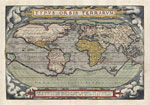
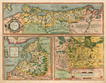
| Maps
of the World
and 4 continents, 1571
|
|
|
| 
|
|
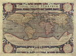
| Map
of the World, 1592
|
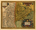
Europe
with a small world
map, 1612
|
|
|
| 
|
|
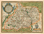
Pomerania,
Livonia
|
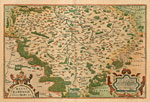
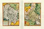
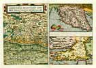
Czech Republic, Moravia
|
|
|
|
|
|
|
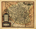
Czech Republic, Bohemia
|
Burgundy
|
|
|
|
|
|
|
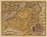
Flanders
|
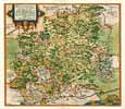
Thuringia & Meissen
|
|
|
|
|
|
|
Württemberg
|
Salzburg
|
|
|
|
|
|
|
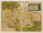
Switzerland
|
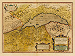
Lake Geneva
|
|
|
|
|
|
|
Verona
|
Cremona
|
|
|
|
|
|
|
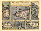
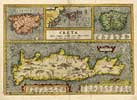
Mediterranean Islands
|
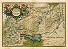
Carinthia - Istria
|
|
|
|
|
|
|
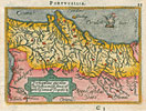
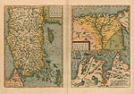
Portugal
|
Azores
|
|
|
|
|
|
|
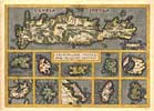
Greece, Italy - Islands
|
Greece - Islands
|
|
|
|
|
|
|
Slovenia - Croatia
|
Turkey, Egypt, Tunis
|
|
|
|
|
|
|
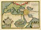
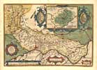
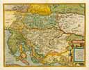
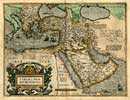
Ottoman Empire
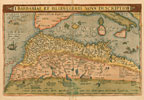
|
Northern
Africa
|
|
|
|
|
|
|
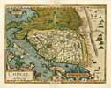
China
|
|
|
|
|
Back
to top
|
|
|
|


