|
|
Claudius
Ptolemy (87
150)
|
|
Astronomer
and geographer
in Alexandria.
About 100 AD
he wrote a description
how to make
maps. From the
12th/13th century
onwards a 'Geography'
was developed
from his manuscript
and under his
name. The first
printed edition
with maps was
published in
Bologna 1477.
|
| Please,
click on a picture
for more information.
|
| 
|
| 
|

|
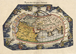
| Map
of the Old World
by
Laurent Fries, 1541
|
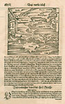
Map of Germania
by G. Ruscelli, 1561
|
|
|
|
|
|
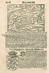
| Scandinavia
by
S. Munster
|
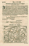
Denmark by S. Munster
|
|
|
|
|
|
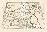
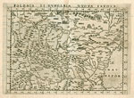
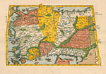
| Eastern
Europe by L. Fries
|
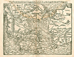
Eastern Europe by
G. Ruscelli
|
|
|
|
|
|
| Greece
by S. Munster
|
Greece by S. Munster
|
|
|
| 
|
|
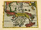
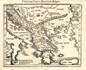
| Greece
by L. Fries
|
Greece by L. Fries
|
|
|
|
|
|
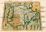
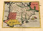
| Iberian
Peninsula by Waldseemüller
|
Iberian Peninsula by L. Fries
|
|
|
|
|
|
| Turkey, Anatolia
by L. Fries
|
Near
East by L. Freis
|
|
|
| 
|
|
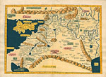
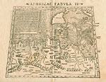
| Northern
Africa, Algeria
by L. Fries
|
Northern
Africa, Algeria
by L. Fries
|
|
|
| 
|
|
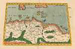
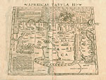
| Northern
Africa by S. Munster
|
Algeria, Tunesia by S. Munster |
|
|
|
|
|
|
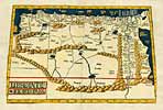
Egypt by S.
Munster
|
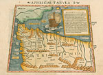
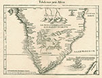
Southern
Africa by L. Fries
|
|
|
|
|
|
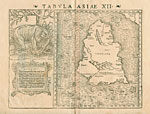
Ceylon - Sri Lanka by Seb.
Munster
|
|
|
|
Back
to top
|


